In Canada, all transportation matters fall within the legal jurisdiction of the Provincial Governments.
Roads
The Island of Newfoundland possesses a first rate road system that provides access to practically all parts of both the coast and the interior of the Island.
The provincial road system consist of three major components:
1. The Trans Canada Highway (Highway #1)
2. Provincial Highways and Secondary Roads
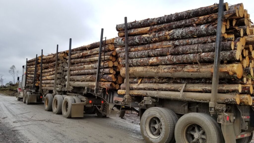
3. Logging Roads
4. Provincial Resource Access Roads
1. The Trans Canada Highway (Highway #1)
The Trans Canada Highway does literally runs across Canada, from its east coast to its west coast. It was funded by both the federal and provincial governments and is maintained by the Province. Newfoundland is connected to Canada’s mainland by ferry from Nova Scotia. Starting at Channel-Port aux Basques (in the south west corner of the island), the Trans-Canada Highway assumes the designation of Highway 1 and runs northeast for 219 km (136 mi) through CornerBrook, east for another 352 km (219 mi) through Gander and finally ends at St. John’s, another 334 km (208 mi) southeast, for a total of 905 km (562 mi) crossing the island. The Trans Canada Highway is illustrated in dark red in the map below.
2. Provincial Highways and Secondary Roads
The Province has also established a network of provincial highways and secondary roads that are connected to Highway #1 and provide highway access to both the coastal communities and the interior of the island.
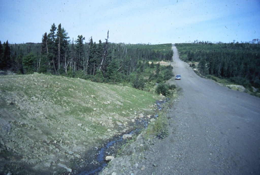
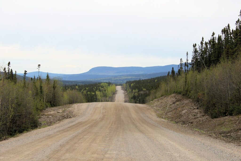
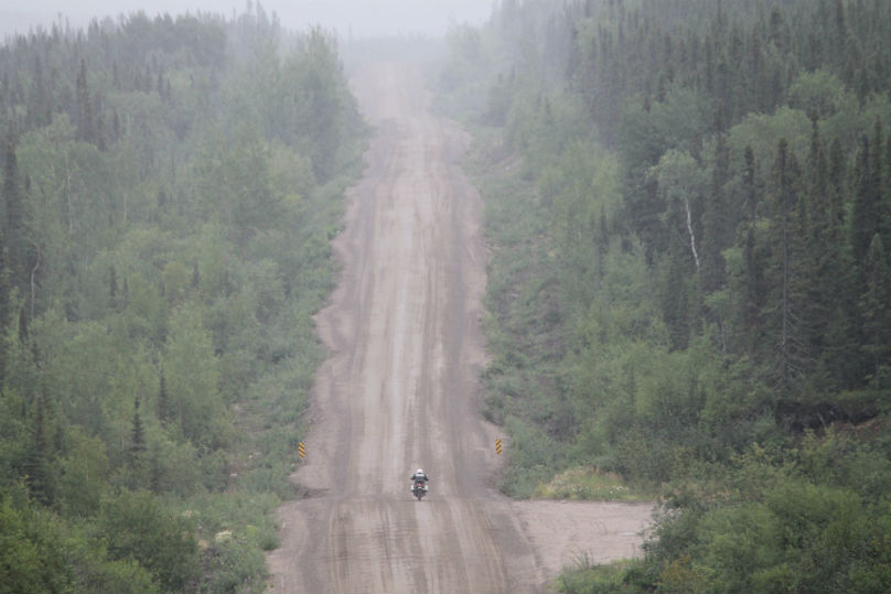
Major national logging companies such as Abitibi-Price have constructed an extensive network of both paved and graveled roads capable of handling heavy logging trucks and equipment. These roads have opened up the interior of the Province to mining exploration
4. Provincial Resource Access Roads
In 1974, the Provincial Resource Roads Program was established.
The purpose of this program is the construction of a network of roads that provides access for independent loggers and sawmill operators to the vast timber stands within the interior of the province. They are capable of handing the heavy trucks and equipment typical of the logging industry. These roads are available for use by the public, including mineral exploration companies.
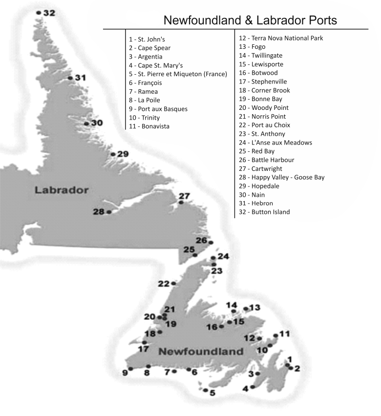
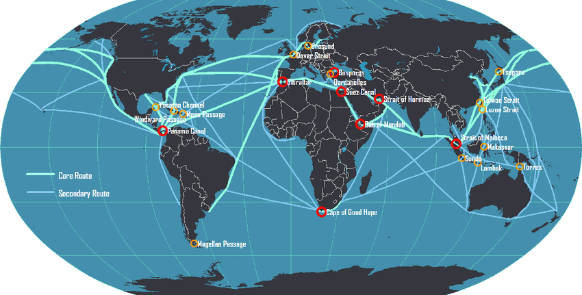
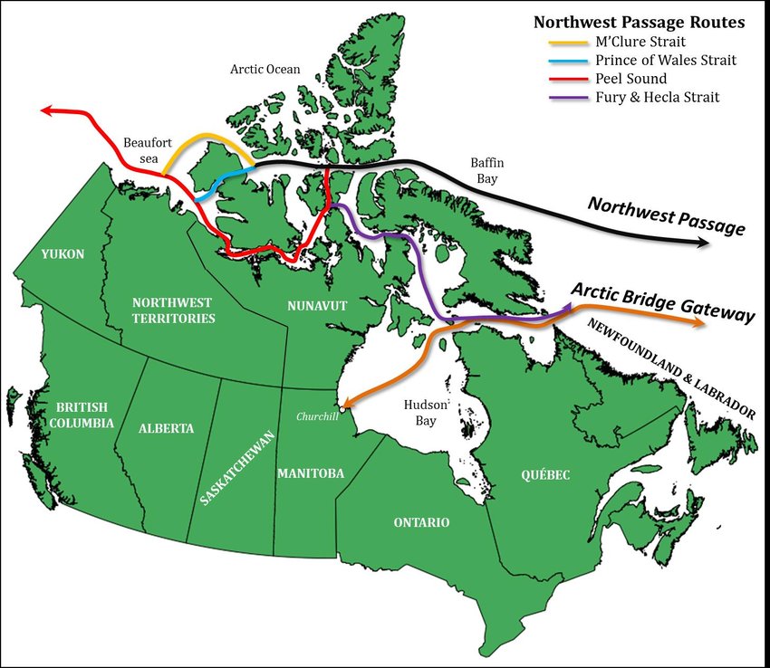
Shipping and Harbours
The Island of Newfoundland sits astride the world’s major shipping routes. As the Northwest Passage gradually opens to trade between Asia and Europe, the seaports of Newfoundland and Labrador will be the direct beneficiaries of this new trade route.
Airports: Newfoundland and Labrador
Newfoundland Airstrips: (No Scheduled Service)
Bell Island
Clarenville
Winterland
Fogo
Exploits Valley
Springdale
Port au Choix
St. Andrews
Labrador Airstrips: (No Scheduled Service)
Nain
Natuashish (on behalf of the Mushuau Innu First Nation)
Hopedale
Postville
Makkovik
Rigolet
Cartwright
Black Tickle
Charlottetown
Port Hope Simpson
William’s Harbour
St. Lewis
Mary’s Harbour
To view the locations of the major airports of Newfoundland and Labrador, please click on the link below: